Farmland 8.51 ha, Szczebrzeszyn
Can I buy this plot?
Description
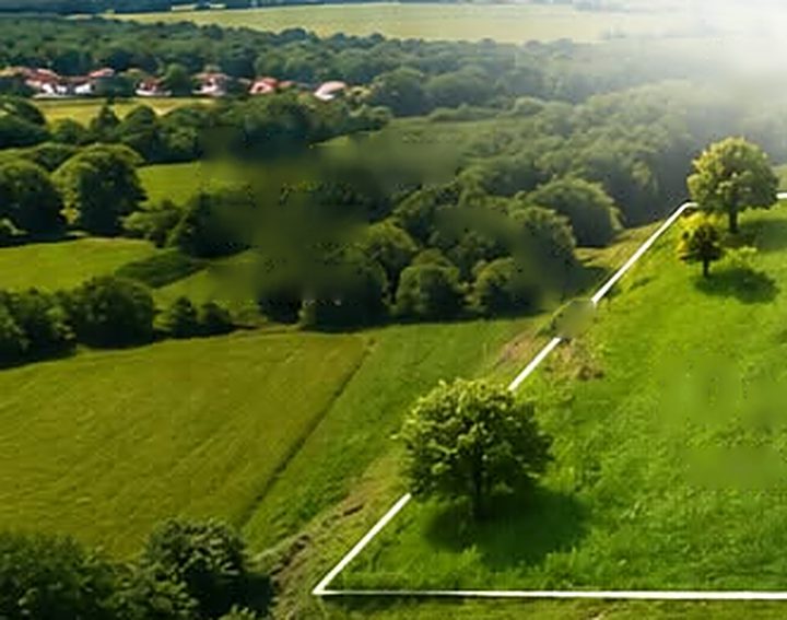
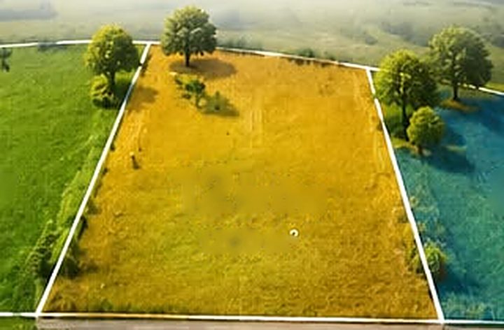
Farmland land in Szczebrzeszyn, Szczebrzeszyn municipality, lubelskie province. The area is close to forest. Covered by a local zoning plan (R: agricultural). No utilities are connected yet. Access by asphalt road. The plot can be divided.
Description generated from the listing data. Original in Polish.
Plot details
Zoning and building we checked this for you
Utilities and access we checked this for you
Legal status
Identity confirmed through the seller's bank (mojeID) and matched with the land register. Checked on .
Hazards and restrictions
A building usually has to stand at least 12 m from the forest edge. On a narrow plot this can limit building.
Check the landslide map of the Polish Geological Institute and do a soil survey before buying.
Example. In the full version every plot is checked automatically against the maps of Wody Polskie, the Polish Geological Institute, GDOŚ and the heritage register. Information from public maps, not a guarantee.
What next with this plot?
Goal: Farmhouse · 1 to check, 5 need attention, 3 done
Before you buy
- Check the land registerDone
We checked this for you: the owner matches the register.
- Check what you may buildDone
We checked this for you: zoning plan R.
- 3Check if you may buy farmlandAttention
Farmland of 0.3 ha or more is usually bought by an individual farmer. Otherwise you need consent from KOWR, and a farmhouse needs a farm.
Paid and optional. Worth doing before signing, especially for a pricier plot
Where to check:KOWR websitesite in Polish - Check access to a public roadDone
Public road, asphalt.
- 5Check hazards and restrictionsCheck first
Applies to this plot: forest next to the plot, sloping or mountain land.
See on the map whether the plot is in a zone. Each restriction is explained in the box “Hazards and restrictions”.
Free, you can check it online yourself
Where to check:Wody Polskie flood portalsite in Polish - 6Release from agricultural useAttention
Soil class IIIb. A release from agricultural use may be needed.
On class I-III soil outside towns you need a decision releasing it from farming and a fee. Check the class in the land registry extract.
The soil class is in the land registry extract. Inside town limits the release is usually not needed.
- 7Soil surveyTo do
Sloping plot: the soil survey matters even more here.
Boreholes show if the ground is stable and how deep the water is. Foundation costs depend on it.
Paid and optional. Worth doing before signing, especially for a pricier plot
- 8Sign the deed at a notaryTo do
First a preliminary contract with conditions (e.g. getting WZ), then the notarial deed. See the cost calculator.
Useful:
Design and permits
- 9Construction mortgageTo do
The bank pays out in stages as the build progresses.
Useful: - 10Survey map for the designTo do
A surveyor prepares an up-to-date map with utilities. The architect draws the house on it.
- 11House designTo do
A catalogue design adapted to the plot, or a bespoke one.
Utilities
- 12ElectricityAttention
No grid nearby. Ask the operator about extending it; it can take long.
Useful:Usually in this region: PGE Dystrybucja. You can apply for connection conditions online on the operator's website. PGE Dystrybucja
- 13WaterAttention
No water main: you will need a well.
Useful: - 14SewageAttention
No sewer: a septic tank or small treatment plant.
Useful: - 15HeatingTo do
No gas: usually a heat pump, often with solar panels.
Design and permits
- 16Building permit or notificationTo do
A house up to 70 m² footprint needs only a notification; a larger one needs a permit. The office has 65 days.
Construction
- 17ShellTo do
Electronic site log, site manager, foundations, walls, roof.
- 18Installations and finishingTo do
Windows, installations, heat pump or boiler, solar panels, plaster, floors.
- 19Fence, driveway, gardenTo do
Completion
- 20CompletionTo do
Notice of completion, utility acceptance, a street number, and registering the building.
Draft to be reviewed by an architect and a lawyer. Costs and times are approximate.
Location
The pin shows the approximate location of this sample listing.
Similar plots nearby
Illustrative photoIllustrative photo Illustrative photo